Daily Streamflow Conditions

The colored dots on this map depict streamflow conditions as a percentile, which is computed from the period of record for the current day of the year. Only stations with at least 30 years of record are used.
The gray circles indicate other stations that were not ranked in percentiles either because they have fewer than 30 years of record or because they report parameters other than streamflow.
USGS CURRENT WATER DATA LINKS

USGS Water Data for Colorado
USGS Water Data for New Mexico
Animas River in Durango
Dolores River below McPhee
Dolores River below Rico
Florida River below Lemon Reservoir
Los Pinos (Pine River)
Piedra River
Rio Grande River Basin
San Juan River in Pagosa Springs
San Juan River Quality Waters
San Miguel River
Uncompaghre River
COLORADO DIVISION OF WATER RESOURCES
Surface water conditions for rivers in the San Juan and Dolores River Basis based on stream gauges.
Current conditions at selected sites are based on the most recent data from on-site automated recording equipment. Measurements are commonly recorded at a fixed interval of 15- to 60-minutes and transmitted to the USGS every hour.
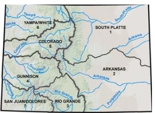
Division 7: San Juan / Dolores River Basin
Colorado SNOTEL Watershed Graphs
Graph showing the current snow water equivalent (in inches) to recent years.

For the San Miguel - Dolores - Animas - San Juan River Basin, click here.
For a view of the SNOTEL Current Snow Water Equivalent % of normal for the Western States, click here.